Trail running: 5 free apps to help you plan your runs
 By Thibault
Discover 5 free apps for trail running: routes, offline maps, GPX files and performance tracking. Choose the best one in 5 minutes.
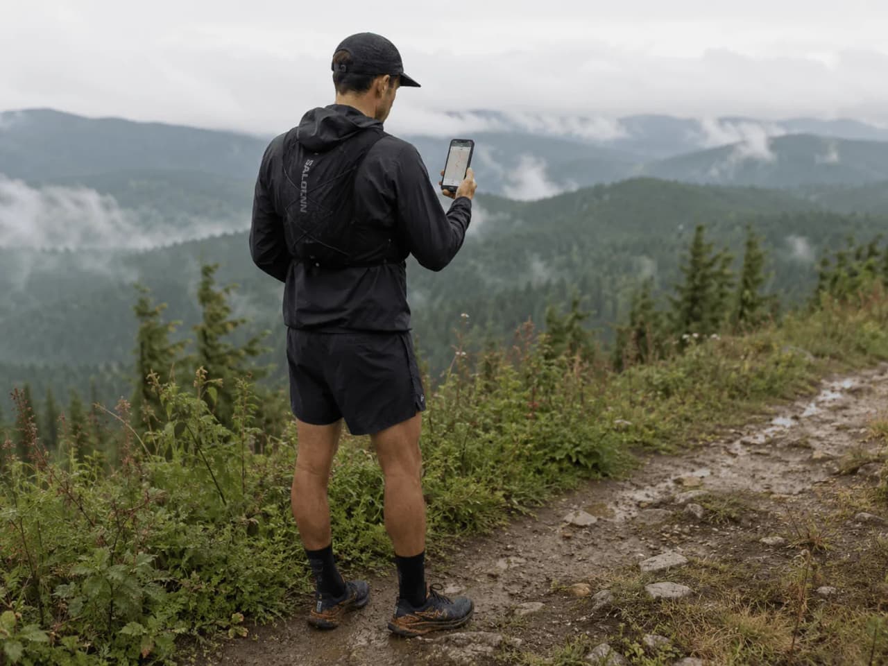
A run that goes off the rails often starts with a small detail: a trail that looks ‘obvious’ on the screen but turns out to be a dead end, a GPX track that’s been plotted incorrectly, or a map that becomes unreadable as soon as the 4G signal drops out. When trail running, the app you choose makes all the difference between following a clear route and spending 20 minutes searching for the right path.
Here, we compare five free apps that cater to very different needs: planning a route with distance and elevation gain, finding a ready-to-follow track, recording and analysing your runs, or keeping a proper topographical map offline. You’ll quickly see which one suits your needs best, and what the free version actually offers.
The sticking point always comes down to the same thing: the mountains (or dense forest) with no mobile signal. Offline maps, navigation, GPX import, performance tracking: we’ll get straight to the nitty-gritty, highlighting the limitations you need to be aware of before setting off.
Overview: a quick comparison of the 5 apps
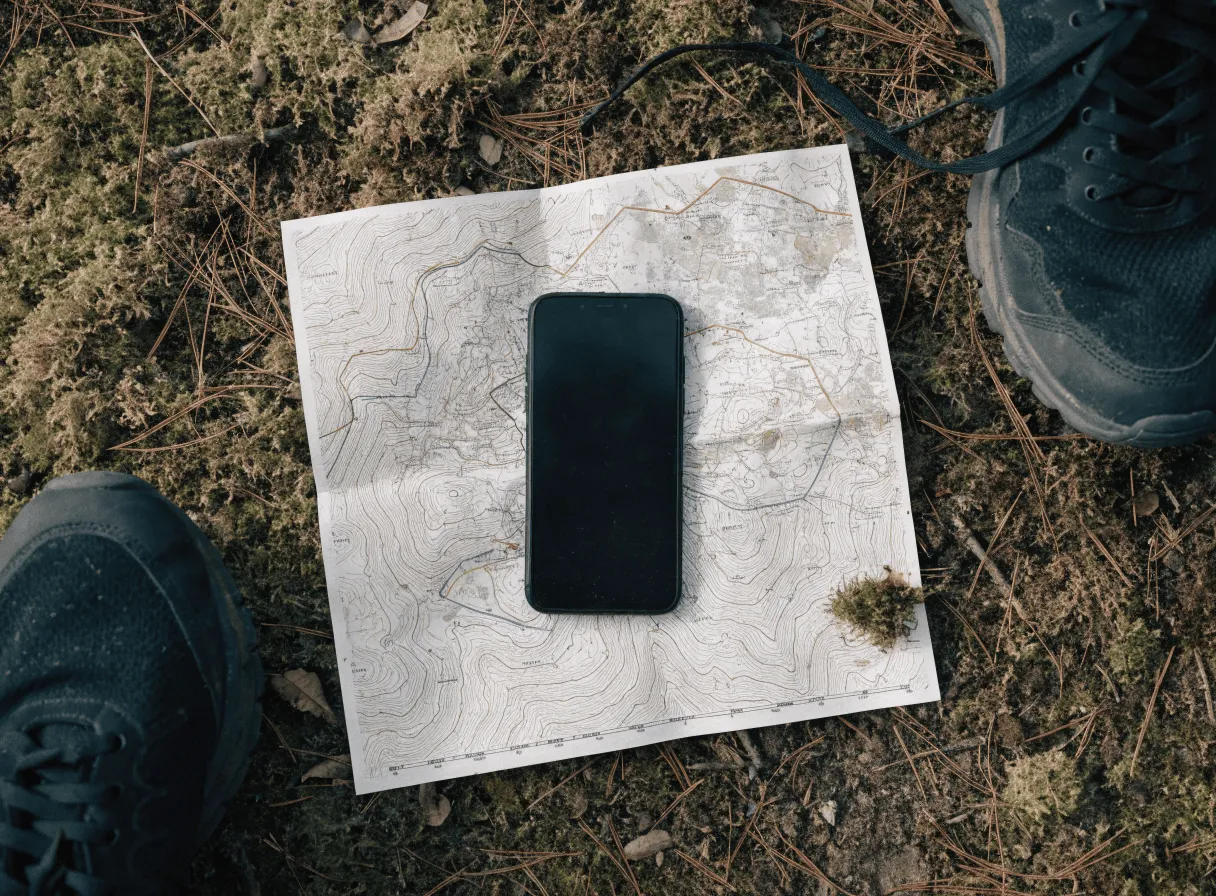
In trail running, your phone can replace a GPS watch, provided you choose the app that suits your needs: planning a route, following a GPX track, using it offline, or analysing your runs.
| App | Main use case | Free or premium? | Overall rating |
|---|---|---|---|
| Komoot | Plan a route and navigate | Free + map purchases / subscription | 4.5/5 |
| AllTrails | Find a trail quickly | Free + subscription | 4.3/5 |
| Strava | Track and compare your performance | Free + subscription | 4.4/5 |
| Wikiloc | Access community GPS tracks | Free + subscription | 4.2/5 |
| Iphigénie | Detailed topographic maps (IGN-style) available offline | Limited free access + subscriptions/maps | 4.6/5 |
Criteria used for comparison: navigation (routing and recalculation), offline maps (download, readability), GPX tracks (import/export, tracking), performance tracking (segments, trends, workload), ease of use (route creation, search, clarity).
1. Komoot

Komoot ticks all the right boxes for ‘navigation’ and ‘ease of use’ when planning a trail run – it’s perfect for creating a clear route with distance and elevation details without having to spend an hour poring over a map.
What the free version lets you do: plan a route on your smartphone, follow GPS guidance, record your activity, and, most importantly, download a region for free to use offline (handy if you often run in the same area). You can also send the route to certain compatible watches and devices via Komoot’s integrations.
Strengths: the route-planning tool is quick and easy to use, with a clear elevation profile and useful trail surface information. The ‘Highlights’ (points of interest suggested by the community) help you spot a mountain pass, a spring or a viewpoint. Voice guidance means you don’t have to keep glancing at the screen.
Real limitations: the free offline feature is limited to a single area, so it’s less suitable if you frequently switch between mountain ranges. The quality of a route also depends on map data and local contributions; always check the terrain (closed paths, private property, snow). For GPX imports and certain advanced features, Komoot quickly pushes you towards in-app purchases or paid options.
2. AllTrails
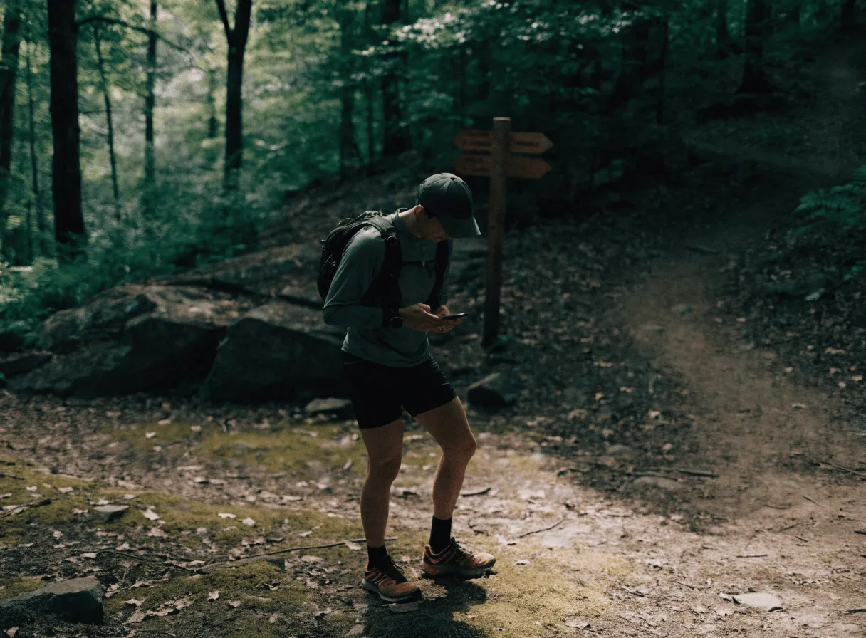
When you want to find a trail running route in a matter of seconds, AllTrails is often the quickest option. The app focuses on searching for and discovering trails, with ready-to-use trail profiles (distance, elevation gain, terrain type) and recent reviews that help you avoid unpleasant surprises.
What the free version lets you do: search for routes by area, log a run, track your position on the map whilst running, view trail profiles and comments, and save favourites. For planning a short run or finding a nearby trail, the free version is often enough.
Strengths: the community-driven database is very comprehensive in many regions. The filters (difficulty, length, elevation gain, loop or out-and-back) save time. Field reports (mud, snow, fallen trees, signposting) provide practical information that a pure route-planning app doesn’t always have.
Limitations to be aware of before setting off: offline access and certain advanced navigation options generally require an AllTrails+ subscription. The quality of a track also depends on the person who recorded it; check the elevation profile, the direction of the route, and the latest reviews. If you plan to follow a specific GPX track in the mountains, test the route on a short section before committing to it.
3. Strava

When you want to follow a specific GPX file, you also need a good ‘post-run’ analysis to help you improve. For trail running, Strava remains the go-to app for recording, comparing and analysing your runs, especially if you’re running with a Garmin, COROS, Suunto or Polar watch that syncs automatically.
What the free version offers: GPS tracking via the app, automatic import from most watches, basic stats (distance, elevation gain, pace), history, segments and leaderboards (with more limited access than before), and a useful social feature for finding ideas for loops via your contacts. You can also create simple routes via Strava Routes, subject to account restrictions.
Strengths: segments motivate you to work on a climb, a sprint or a steady descent, without having to reinvent your sessions. Activity data is easy to read, especially if you add heart rate and cadence. ‘Heatmaps’ (usage maps) help you spot popular trails, which is handy when you arrive in a new valley.
Reasons to upgrade to premium: the analysis tools (trends, load, goals), more advanced routes, and safety features such as Beacon (live sharing). If your priority is offline navigation in the mountains, Strava is often used in combination with Komoot or Iphigénie, whilst you keep Strava for analysis.
4. Wikiloc
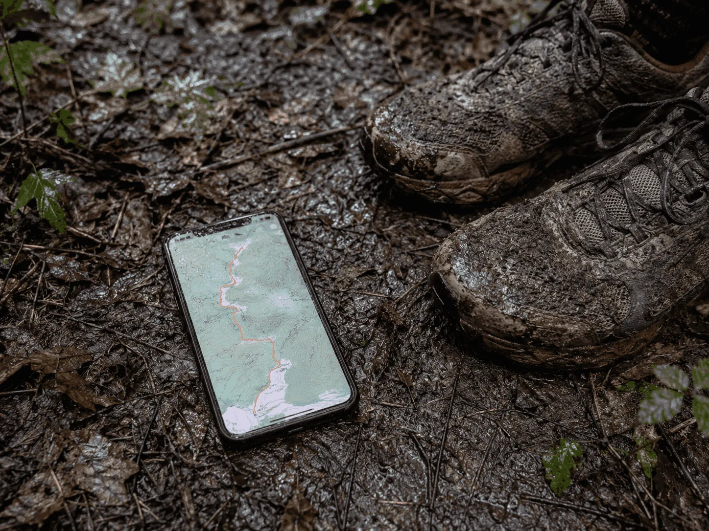
Whilst Strava is mainly used for analysis, Wikiloc is mainly used to find a ready-to-follow GPX track. When planning a trail run in an unfamiliar area, Wikiloc’s strength lies in its library of routes shared by thousands of users (trail running, hiking, mountain biking), complete with photos and comments.
What the free version allows you to do: search for routes by location, view a route’s details (distance, elevation gain, type of activity), view the track, and download the GPX file from the Wikiloc website to import it into another app or a smartwatch. On mobile, several navigation and offline features generally require Wikiloc Premium.
Strengths: excellent for finding ‘local’ loops that Komoot or AllTrails don’t always offer, especially in less touristy areas. The filters by activity and difficulty help you find a suitable route. Tracks often come in several variations (shorter, steeper, smoother), which is useful for tailoring your trail run.
Risks and limitations of community-generated GPX tracks: a track may veer off the path, cross private property, or follow a route that has become impassable (due to erosion, roadworks or snow). Before setting off, check the elevation gain, the date the track was recorded, and its accuracy against a topographical map. If possible, compare it with OpenStreetMap or an IGN map via Iphigénie.
5. Iphigénie

When you want to check a GPX track against a real topographic map, the map makes all the difference. For trail running, Iphigénie is designed specifically to meet this need: to display highly detailed maps (such as IGN maps) and keep them offline so you can navigate in the mountains, in dense forests, or in areas where 4G coverage is lost.
What the free version allows you to do: test the interface, view maps and your GPS position, and import and view a GPX track depending on the available options. In practice, ‘serious’ offline use and access to the most sought-after topographic maps quickly require in-app purchases or a subscription, depending on the map pack chosen.
Strengths: the clarity of the topographic maps is the real selling point. Contour lines, terrain, trails and place names all help to ensure that a route doesn’t cut across a rocky outcrop, a ravine or an area without a path. When preparing for a challenging outing, Iphigénie complements Komoot (planning) and Strava (analysis) well.
Limitations: Iphigénie is less suited to ‘discovering’ routes than AllTrails or Wikiloc. The app also requires a bit of organisation: download your areas before setting off, check your storage space, and keep an eye on the battery if you leave the screen on for a long time.
Which app performs best in the mountains without a network connection?

In the mountains, the real test for trail running comes when you’re off the grid: a clear map, a stable GPS signal, and a battery that lasts if you keep the screen on. Here’s how the five apps fare, one by one, in this scenario.
- Komoot: works reasonably well offline if you’ve downloaded your route; clear guidance with alerts if you stray from the route. Reliable GPS, though the map is sometimes less ‘topographical’ than a proper relief map. Average battery life if you leave the guidance screen on.
- AllTrails: in the free version, offline functionality is often limited, so less reassuring at high altitudes. Decent GPS, clear map, but the app is primarily designed for discovering trails. Battery life is comparable to the others if you’re navigating continuously.
- Strava: useful for recording offline (the track is saved without a network connection). For following a route precisely, it isn’t the most user-friendly depending on your account settings. Decent map, but less ‘terrain’-oriented. Battery life is quite good for simple recording, but uses more power during navigation.
- Wikiloc: good if you’re setting off with a clean GPX file, but the offline and guidance features often require a Premium subscription. Readability varies depending on the base map. Battery life depends heavily on the navigation mode.
- Iphigénie: the most robust option for offline navigation with detailed topographic maps, useful when you lose the trail. Reliable GPS, excellent terrain rendering. Point to note: map tile storage and battery consumption if you zoom in frequently.
Which app should you choose based on your trail runner profile?

In trail running, the ‘right choice’ depends less on the overall rating than on your current objective: finding a route, following it, making progress, or ensuring a safe run without mobile coverage.
- Beginner (simple runs, want to find your way quickly): AllTrails. You enter an area, apply filters (distance, elevation gain, loop), and set off with a clear route description and recent reviews. If you then want a ‘cleaner’ track, export a GPX file to Komoot.
- Performance (training sessions, progress, comparisons): Strava. The history, segments, basic stats and syncing with Garmin, COROS, Suunto or Polar do the job. Keep Komoot or Iphigénie to hand if navigation becomes a priority.
- Long-distance (battery life, offline use, reliable route): Komoot. Planning is quick, the guidance is clear, and downloading a region offline helps when 4G drops out. For an ultra or an unfamiliar mountain range, add an Iphigénie topo map as a backup.
- Exploration (poorly documented areas, local tracks): Wikiloc. You can find GPX files ‘from locals’ that you won’t find anywhere else. Always check the date, the elevation gain and the route’s consistency against a topographic map before setting off.
Verdict: free or premium – what’s really worth paying for?
 In trail running, paying for an app only makes sense if you’re buying reliability: offline access, maps, and sometimes safety features. For everything else, the free version does the job very well indeed.
What’s really worth paying for (depending on your terrain):
- Reliable offline maps: if you’re running in the mountains or in areas with no mobile coverage, the subscription quickly pays for itself. Komoot makes sense if you venture outside your ‘free region’ and want to download multiple areas. Iphigénie really comes into its own if you need detailed topographical information (contour lines, terrain) to assess a route.
- Reliable guided navigation: route recalculation, off-route alerts, and route tracking without a network connection. This is often the most ‘practical’ paid option on AllTrails and Wikiloc.
- Safety features: live location sharing and tracking by a friend or family member. Strava Beacon is one of the practical reasons to upgrade to premium if you’re running alone.
What you can usually avoid paying for: advanced analytics if you’re not following a training plan, leaderboards and social comparisons, and ‘automatic’ route creation if you’re already importing GPX files from Wikiloc or AllTrails.
Simple step: choose just one service – either the offline option (Komoot or Iphigénie) or the performance tracking option (Strava) – and keep the rest free. You’ll reduce the number of subscriptions and end up with a clear, straightforward setup.

Find your next adventure
Browse curated expeditions matching the categories of this article and start planning your next trip.
Find your dream adventure
 Find your dream adventure
You might also like these adventures …
Hand-picked to echo the spirit of this article.






More to discover
Keep exploring with these pages and stories picked for you.

The Best Hiking Apps for Outdoor Expeditions
Discover our selection of the best hiking apps for planning your routes, exploring nature and enjoying every expedition with complete confidence.
Packraft trail: the ultimate guide to getting started in a day
Discover the packraft trail: the ultimate guide to hiring, choosing the right kit and setting off with confidence from your very first day on the water.
Mountain trail training course in France: which one to choose?
Discover the ideal mountain trail course: compare destinations, levels and objectives to quickly book the right course in France.

Snowshoe outings: the ultimate checklist for a successful adventure
Prepare your snowshoe outing stress-free: discover the ultimate checklist for perfect equipment, guaranteed safety and a memorable mountain adventure.
The 4 benefits of trail running
Start trail running: the 4 benefits that will get you started! Disconnect, immerse yourself in nature and experience the benefits for your body!
Mountain Leader: The Ultimate Guide to Unforgettable Adventures
Find out how a mountain leader can transform your treks with expert advice. Get ready for adventure!
